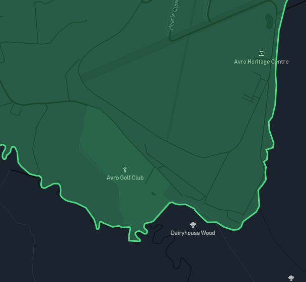
Ultra high detail

All boundaries come in 4 different detail levels so you can select the best fit for your use case.

Lower detail boundaries are ideal for web projects where fast loading times are essential, while higher detail boundaries are perfect for applications which require street level precision.

Works with

Mapbox logo Google Maps logo Leaflet logo

Usage guides

How to add boundaries to Mapbox

If you are using Mapbox to visualise the locations of a set of results, it can also be useful to highlight the city / town / village boundary these results fall in. In this article we're going to walk through how to add a basic map to your web page and then how to add a town boundary onto that map

Read more

How to add boundaries to Google

If you want to add a boundary to Google Maps using the JavaScript API there are several ways to do it but fundamentally you just need a collection of lattitude and longitude coordinates. The method we are going to cover in this article is by adding an external data source in GeoJSON format.

Read more